| itinerary < 14 August to Gold Beach, Oregon 15 August On to PDX > | South Slough 15 August 2014 |
|
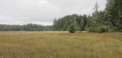
After the typically difficient motel "breakfast" and an obligatory stop for coffee for the ladies, we headed north from Gold Beach toward Coos Bay, Oregon's "Bay Area," where we detoured down 7 Devils Road to South Slough National Estuary ... didn't know there were National Estuaries, didja? There are at least four, including San Francisco Bay abd Chesapeake Bay. The story here is of an extensive estuarine environment in the midst of a temperate rainforest, where the fresh water flows through rich timberland into a salty ocean edge, creating an infinitely inhabited, diverse biome unlike any other. Like any rainforest, the foliage is riotous, but as you will see in the two lower left hand images (below), Oregon is also experiencing a drought that is stressing delicate mosses and enormous Cedars alike. The three-plus mile trail down from the ridge-top interpretive center to the boardwalks beside the slough walks us through the whole spectrum from deep forest through riparian to the salty mudflats of the slough at low tide. |
 |
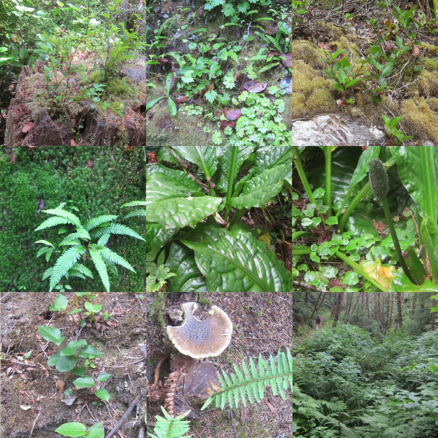 The Skunk Cabbage (center and flower, center right) are considered the only warm blooded plant. |
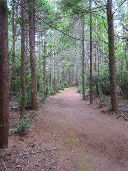 Tunnel Trail |
The trails are thoughtfully built and well-traveled, although while we were there we saw no one. The regrowth dwarfs humans. Many of the trees here establish a thick monoculture through allelopathy: subtly poisoning the competition. The "destination" of the hike to the slough is the overlook, already showing the work of the rainforest. In place scarcely ten years, the forest is so busily reclaiming the biomass in the wood that it must be rebuilt. The Rainforest Rule: biomass that is not actively renewing itself every day will be recycled promptly. This rule makes for a vivid and changing environment. The slough, and indeed this forest we walk through, has been logged over at least once, in the best Oregonian fashion: clearcut. Moreover, in their haste to remove the timber for the building of Oregon's towns, barns and bridges, the woods heroes of yore reshaped the slough itself, straightening the ox-bows, dredging the channels, and otherwise defeating the patient work of millennia that turn a wetland like this into the planet's kidneys. Left alone now for half a century, the forest has mostly regrown, but the slough itself is only beginning its recovery. It appears healthy, but signs of its despoliation and the severe drought can be seen everywhere. |
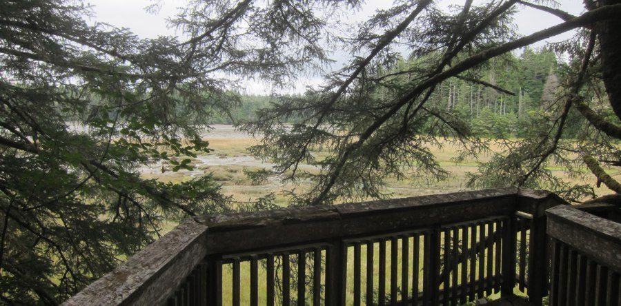 Overlooking South Slough |
|
At the foot of each stream, a rich salt marsh mixes tidal waters and seasonal runoff in a rich stew. Just above the salt marsh, where fresh water prevails, the trail starts back braiding its way invitingly across a field of Skunk Cabbage. Here too, Nature's constant reclamation project has weakened the ten-year old timbers, now being replaced by thicker Port Orford Cedar, a wood that is slower to give in to the reclamation agents: rain, moss, lichen, and insects. Hidden Creek's precipitous north slope, even in this drought, is lushly watered by summer fogs and winter rain. |
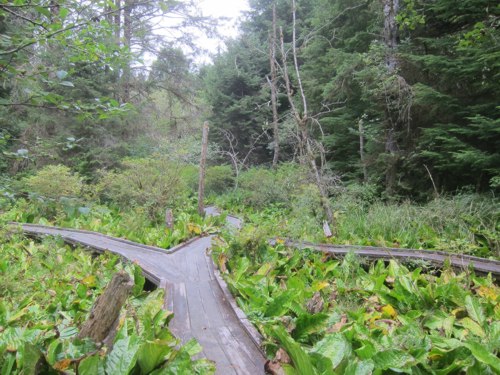 The boardwalks up Hidden Creek |
 |
updated 18 November 2024 Caspar Time site software and photographs by the Caspar Institute except as noted this site generated with 100% recycled electrons! send website feedback to the CI webster © copyright 2002-2024 Caspar Institute |