| itinerary < 1 October Beyond Bryce 3 October Capitol Reef > | The Escalante 2 October 2014 |
|
Our amazing Utah state park campsite had electricity (but no cell service) and while I was organizing photographs, I was visited by a nocturnal Stick Insect about two inches long and very curious. Next morning, we wandered through the park. The curious side effect of National Parks is that while they grab the Really Big Sights, they leave the modest little sites alone ...and in many cases, as here, these are more interesting. The phallic tower in the righthand image is thought to be a petrified spring, one of many in Kodachrome Basin State Park. Geologists speculate that at one time this area was a geyser basin, and that when the inland sea that covered the Southwest laid down its sandstone, it trapped mineral-bearing water that hardened the sand as it escaped, leaving behind harder columns. When the softer layers eroded, the columns emerged. |
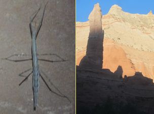 Stick insect; Petrified spring |
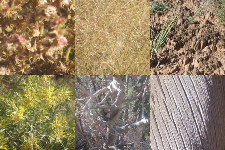 Xerophytes, Cryptobiotes, Juniper remains |
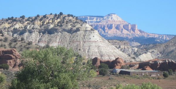 Starting up the Staircase |
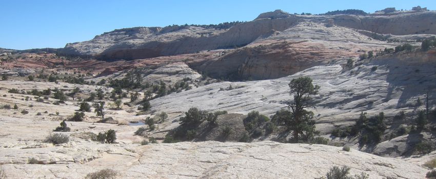
Our road now took us into the Escalante, the most recently explored, mapped, and populated place in the Continental US. One early explorer said, standing on the edge of this contorted landscape, "You need wings to live here." Altitude is one of its primary characteristics: the Escalante starts high, above 6,000 feet, and rises to well over 11,000. |
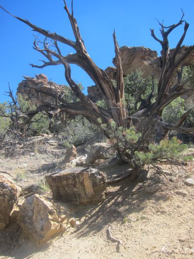
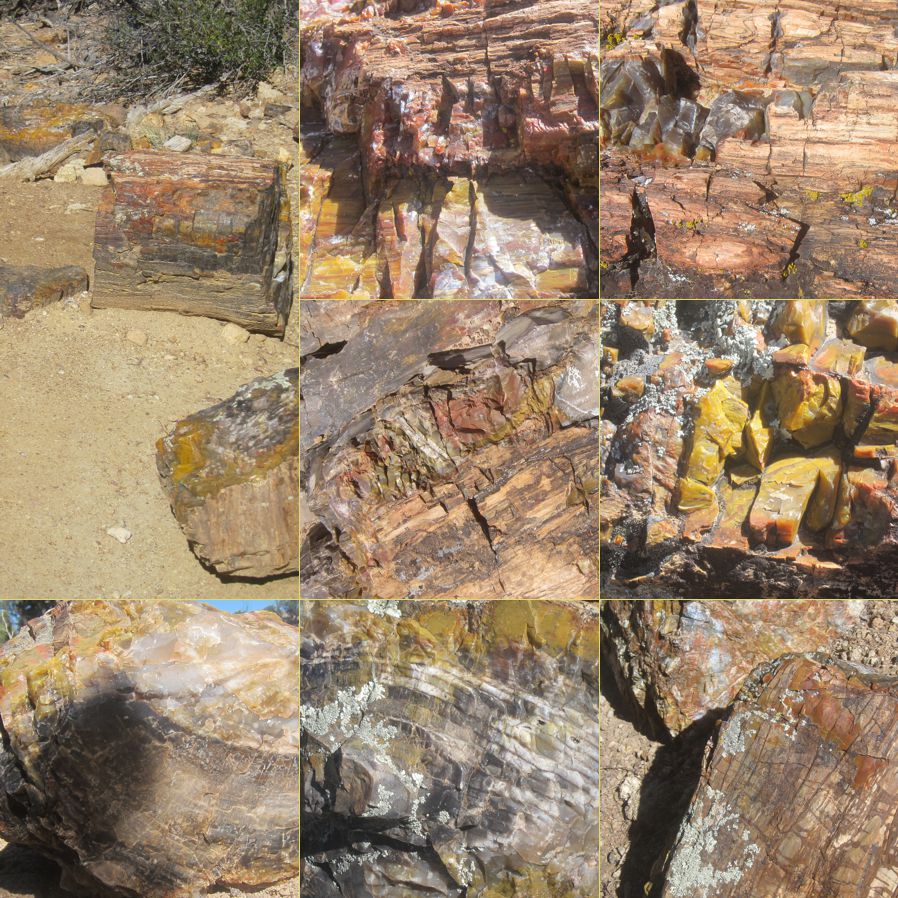
Escalante Petrified Forest State ParkWe were barely up the first few steps when we came to this strange place, a landscape littered with petrified wood. Geologists theorize that a forest of very large trees got blown down in a volcanic event, and covered with mineral-rich ash. Then the ocean came and covered the ashfall with sand that turned to stone. Under the pressure and over the millions of years, the minerals selectively replaced the the organic structure, preserving bark and even tree rings. When the soft sandstone washed away over the subsequent millions of years (something like 200 million) the landscape was left with a scattering of petrified tree remains. The greens and blues are evidence of copper, cobalt, and chromium; the pink is manganese, the black is carbon and manganese, and trhe various shades of red, brown, yellow, and green are caused by iron. This State Park, out in back of beyond where tourists seldom go, is another wonderful example of the small, captivating curiosities found off the tourist mainline. |
 |
 |
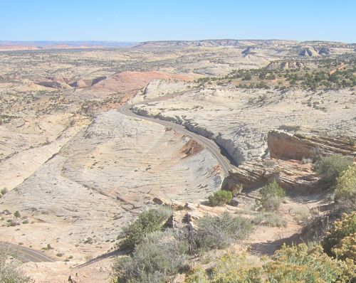 |
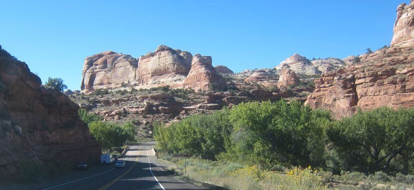
The road winds on across this desolate, unpopulated, magnificent countryside, gradually climbing up and over the Escalante plateau on its way from Bryce to Capitol Reef National Park and its small attendant town, Torrey. In the town of Escalante we had to stop at an unlikely amenity: a very well stocked and interesting natural food store. It was hot, and we got delicious organic popsicles for our onward journey. On its way up and then down the Staircase (that's Escalante in Spanish) the road ran through beautiful little canyons, and into high meadows dotted with cattle and fringed with Aspen just starting to turn. |
 |
 |
 |
updated 18 November 2024 Caspar Time site software and photographs by the Caspar Institute except as noted this site generated with 100% recycled electrons! send website feedback to the CI webster © copyright 2002-2024 Caspar Institute |