| itinerary < 7 October River Day 3 9 October River Day 5 > | River Day 4 8 October 2014 |
|
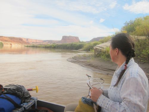
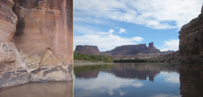
We rowed out of Verandas in good time, even after scrambling up to the fire veranda to retrieve our fire pan. In Stillwater, you even haul out your ashes (and your poop!) Just down river from Verandas camp the river runs along an abrupt wall. Looking back upriver, we could see our camp dwindling, and it felt a little like leaving home ... but soon we had drifted around a corner, and were seeing new wonders. Like the Grand Canyon, Stillwater Canyon was created by a river patiently sawing its gritty path through a rocky landscape that was gradually rising, upthrust by tectonic forces over a period of hundreds of thousands of years. This leaves walls that are cross-sections of the geological record. |
 |
 |
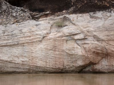 |
Here (at left) we see the cross-section of the same petrified sand dunes that formed the slickrock domes we walked over the day before. We anticipated an even easier paddling day, with the thought that we might camp at Anderson Bottom, a huge abandoned meander that offers a number of interesting sights. There was already someone at the regular Anderson camp, but we found a possible site at the far end of the Bottom. Landing a catamanoe is not an easy matter, and we had accomplished a smooth landing only one time so far. With the river high but dropping, the margin was often muddy, and this, Sienna discovered, was the case here. |
|
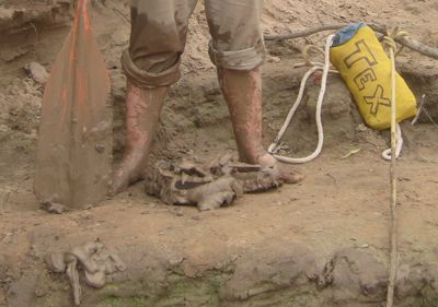
Eeeewwww! While I maneuvered the barge by poking my paddle into the mud, Sienna braved the mud, and scrambled up onto the bank with the throw bag ... enabling me to get out of the boat without getting a drop of mud on me. Turned out we were at one of the remnant inlets from the oxbow bend the river had abandoned some million years ago, a slow-moving wash full of fine silty mud of indeterminate depth. Tracks in the mud showed that even the riverine critters struggled with the muck. But up above, we found a fine campsite and a satisfactory kitchen, and even had time for a long ramble around the oxbow. |
 |
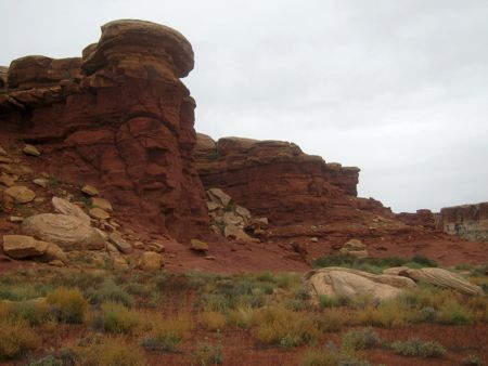 |
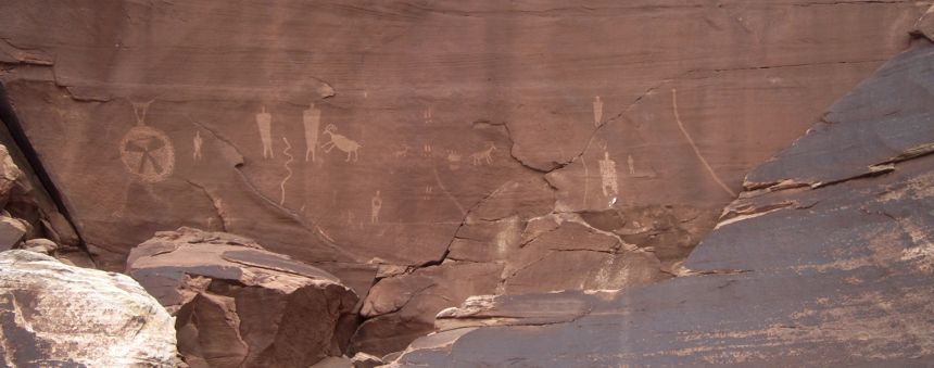
In the center of the meander, a tower of the overlying red rock still stands, and clearly has stood for millennia. The broad bottom, several hundred acres of silt, scrub, and sand, was likely one of the proto-Pueblan peoples' seasonal farmlands back before the Whites took over. Paths through the sage and pirdkly grasses have most likely been walked (barefoot) for hundreds of years; the cliffs are dotted, here and there, with stone granaries where the farmers kept their seed grain from season to season. On the big flat sheared-off faces, sometimes we find petroglyphs of snakes, Bighorn Sheep, and the people themselves. |
 |
|
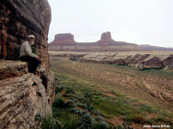
At times, the overwhelm is ... well, overwhelming. Just us and the river, 5 days away from civilization both directions (and upriver isn't happening.) Physically, it's a demanding place: nothing is flat, everything is slippery or rolls if you step incautiously. Lots of up and down. And always, all around, astonishing beauty. Looking back at these pictures, preparing this blog, it looks like a lot of big rocks. And that's accurate, but inadequate. One word that comes to describe it is "unworldly," and yet the fact is it's super-worldly. |
 |
|
Somehow being here renders that synthetic reality of big box stores and speeding RVs unreal. |
 |
updated 18 November 2024 Caspar Time site software and photographs by the Caspar Institute except as noted this site generated with 100% recycled electrons! send website feedback to the CI webster © copyright 2002-2024 Caspar Institute |